Our Collections
Each designed for different exploration approaches
Each designed for different exploration approaches
£47.50
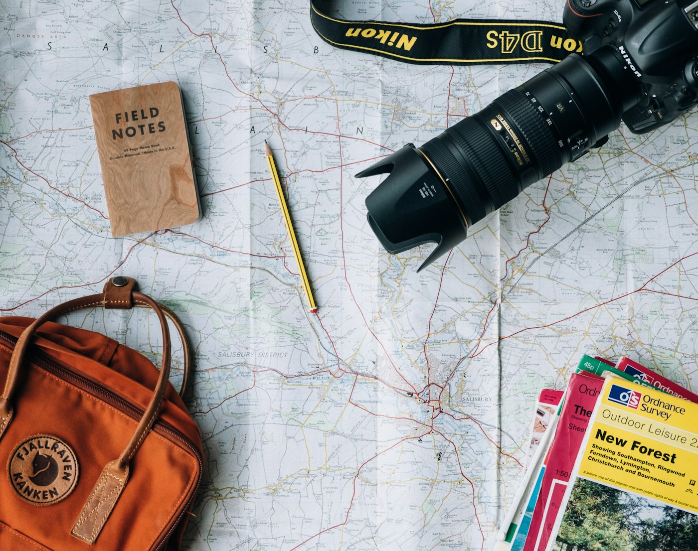
Five carefully selected regions that represent diverse European terrain types. Each card includes primary routes, cultural context markers, and practical logistics.
Ideal for travelers making their first independent journeys or those seeking reliable backup navigation for popular destinations.
£68.75
Comprehensive coverage of a single country or territory. Goes beyond tourist centers to include paths favored by residents and experienced travelers.
Perfect for extended stays or travelers who prefer thorough exploration of one area rather than surface-level visits to multiple locations.

£52.30
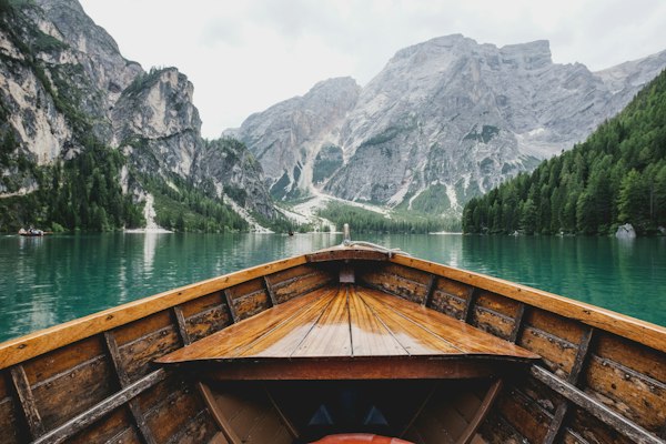
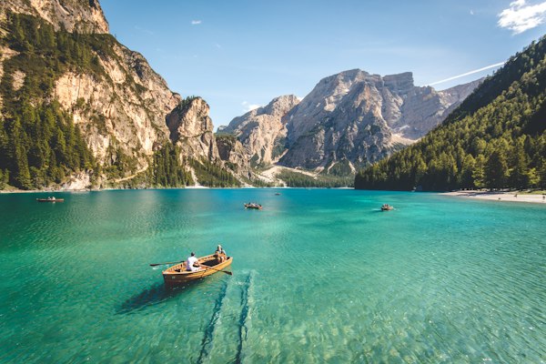
Specialized navigation for European waterfront exploration. Covers harbor towns, beach access points, coastal trails, and maritime heritage sites.
Designed for travelers who follow coastlines, island-hop, or prefer the distinct character of seaside communities.
£71.90
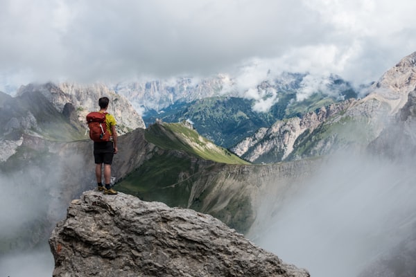
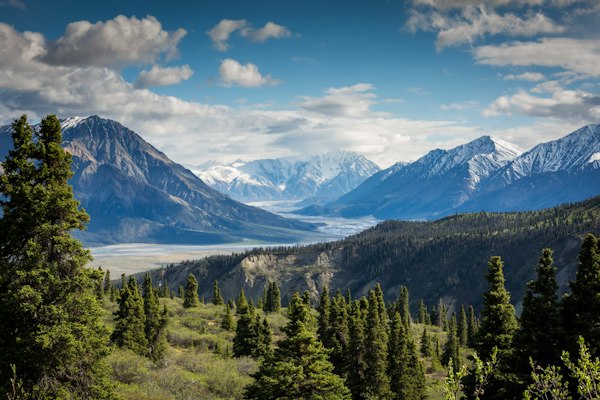
Alpine-focused navigation with elevation awareness built into the design. Details terrain difficulty, shelter locations, and seasonal access considerations.
Essential for hikers, climbers, and travelers who seek mountain environments. Information density balances detail with readability in field conditions.
£55.40
Eight major European cities mapped beyond tourist centers. Includes neighborhood character guides, public transport integration, and local gathering spaces.
Suited for travelers who want to experience cities as residents do, moving past obvious attractions into authentic urban exploration.
£189.95
Every region we currently map, collected in one comprehensive set. Twenty-three cards covering diverse terrain types and travel scenarios across the continent.
For serious travelers who want complete coverage, whether planning extended journeys or building a reference library for future adventures.
Each set addresses different travel patterns. Choose based on how you typically explore rather than trying to cover everything at once.