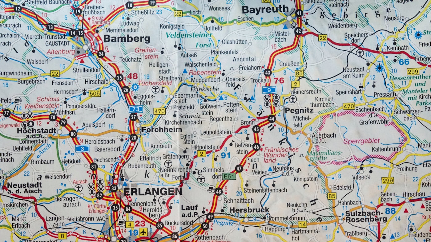
There's a particular feeling that comes with holding something tangible when the world goes quiet. No signal. No battery warning. Just you and the path ahead.
Most travelers carry phones loaded with apps that drain before sunset. They trust algorithms to chart their adventures. Then something shifts—a missed turn, a dead zone, a moment when technology becomes a liability instead of a guide.
We noticed this pattern across hundreds of stories from explorers who learned the hard way. Mountain trails where GPS becomes guesswork. Coastal villages where data connections vanish. Historic cities where narrow streets confuse even the smartest navigation systems.
Digital maps require power. They demand connectivity. They assume infrastructure exists where you're heading.
Traditional paper maps overwhelm with information density, tearing at folds, becoming illegible in rain or wind. The gap between these extremes left modern travelers without a reliable middle ground.
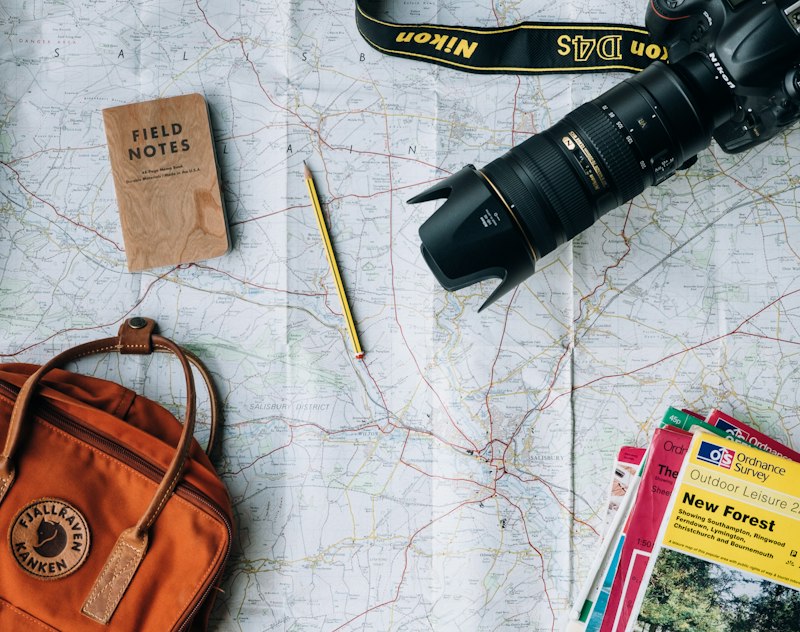
What if navigation tools could be both intelligent and independent of technology? What if essential route information could fit in your pocket, remain readable in any condition, and actually enhance the discovery process?
After examining how experienced guides prepare for expeditions, we identified a consistent approach: curated information, weatherproof materials, and immediate visual clarity.
Each card distills a specific region into essential waypoints, cultural markers, and practical routes. No clutter. No overwhelming detail. Just the insights that matter when you're actually moving through a place.
Printed on tear-resistant, water-repellent material using cartographic techniques refined over eighteen months of field testing across twelve countries.
"Used these throughout Iceland. When my phone died during a glacier hike, I wasn't worried. The card showed exactly what I needed."
"Thought I wouldn't need physical navigation tools anymore. Portugal changed that assumption quickly. These cards became my primary reference."
"The detail level is perfect. Not too much, not too little. Exactly what you'd want someone to sketch for you if you asked for directions."
No satellites required. No cellular towers needed. The information remains accessible whether you're in a canyon, on a boat, or deep in a forest.
Tested in rain, snow, humidity, and direct sunlight. The material resists water, doesn't tear under normal use, and maintains legibility in variable light conditions.
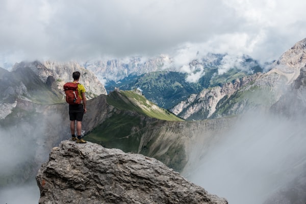
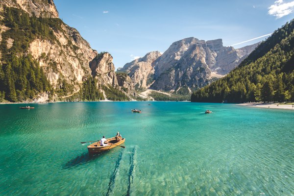
Each region is mapped by contributors who have spent significant time there. They highlight what guidebooks miss and what apps can't quantify.
Each collection addresses different travel patterns and preferences. Select the approach that matches how you discover new places.
Five core regions popular with first-time independent travelers. Each card covers major routes, cultural sites, and practical logistics.
£47.50Focused coverage of a single country or territory. Includes primary routes plus lesser-known paths favored by locals.
£68.75Specialized cards for waterfront exploration. Covers harbor towns, beach access points, and maritime heritage locations across European coastlines.
£52.30Elevation-aware navigation for alpine regions. Details terrain difficulty, shelter locations, and seasonal access considerations.
£71.90Eight major European cities mapped beyond tourist centers. Includes neighborhood character guides and public transport integration.
£55.40Full collection of all available regions. Twenty-three cards covering diverse terrain types and travel scenarios across the continent.
£189.95Our approach to navigation design draws from established research in wayfinding and spatial cognition:
Important Notice: These navigation cards are designed to supplement your travel planning and should not replace comprehensive route research or professional guidance. Weather conditions, trail closures, and regional circumstances can change rapidly. We recommend consulting local authorities and current conditions before embarking on any journey. Individual navigation experiences may vary based on familiarity with map reading and environmental factors. Always inform someone of your travel plans when exploring remote areas.